In Season Informed Decisions
Identify Stressed Crops - Increase Yield
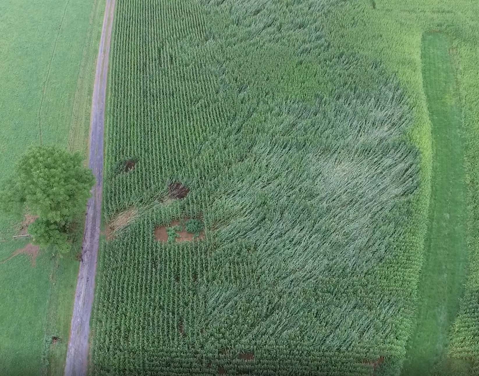
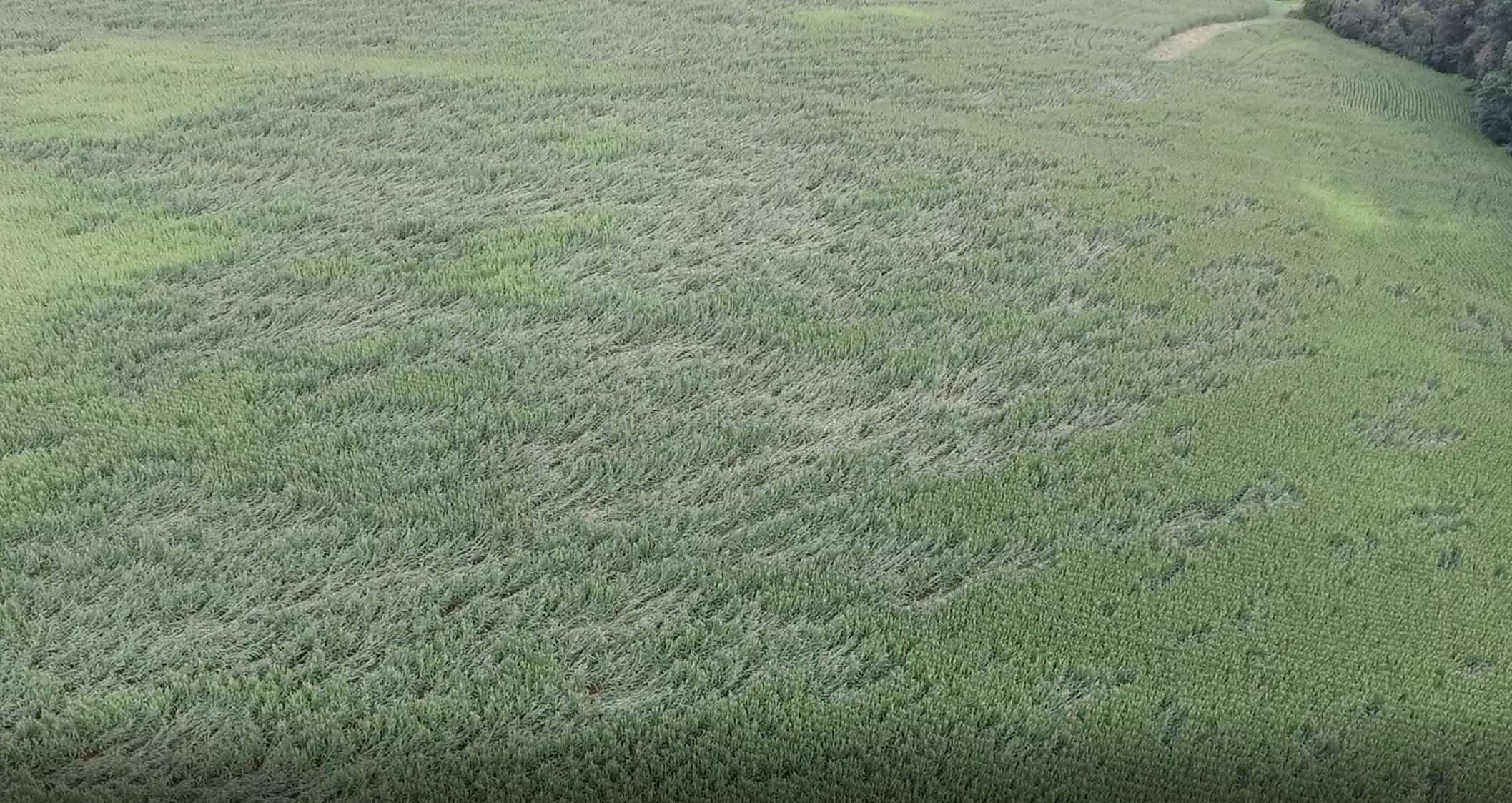
Survey row crops, vineyards or high value crops throughout the growing season with the latest in drone technology. Quickly locate crop stress minimizing crop saving prescriptions. Repeated surveys through the growing season is an accurate prediction of harvest yields. Surveys can also secure your investment in case of storm damage--imagery will show your insurance adjuster crop population prior to the storm. Don’t be anxious by the unknown, let Eagle Eye Imaging, LLC inform you on your product.
Directed Scouting
Augment Boots on the Ground
The Value
Precisely Locate Problem Areas
Localized Prescription, Decrease Overhead, Increase ROI
Locate Weed Pressure
Drainage Management
3D Field Model
Contour Map
NDVI Surveys Correlate to Field Yields
Save Time By
Quickly Locate Stressed Areas
Pin Point Scouting Locations
Aid Your Agronomist
Increase Productivity
Understand Field Variability
The Latest Technology
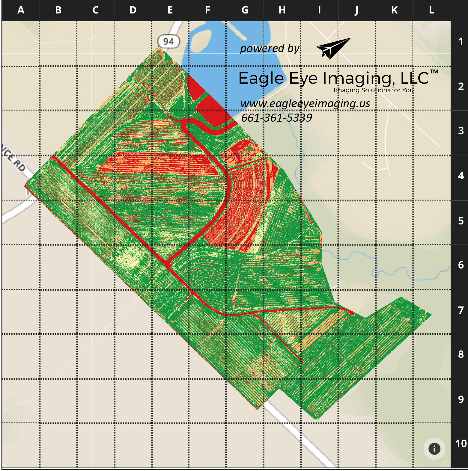
Eagle Eye Imaging, LLC is excited to bring a cost affordable ag survey of your land. Using a state-of-the-art near-infrared camera and Normalized Difference Vegetation Index (NDVI) algorithms, we can help highlight early vegetation stress before it is visible to your eye. We use the latest artificial intelligence technology to bring the local grower accurate stand counts and geolocation of weeds. In collaboration with Picterra, our weed pressure report is found at this link. Interested in seeing survey results? Click here.
Repeated Surveys Throughout the Growing Season
Multiple surveys through the growing season provide valued information to understand field pressure. Reduce the stress of the unknown while increasing field uniformity. We will survey your fields and provide you and your agronomist easily understandable reports so your team can quickly act upon the information.


